Maybe I am partly to blame as well. I remember when I started driving I didn’t know if I should turn left or right out of the driveway and my dad would say to me over and over again, “17 years I have been driving you around, and I am sure that once you get in the car you just close your eyes”. Whatever it is that is preventing people from learning their locational knowledge, I am pretty sure it is still going on.
I do wonder what is wrong with giving every Y7 in the country four blank maps of the UK.
Map 1 to have the names and locations of the countries and the seas.
Map 2 to have the names and locations of the major towns and cities
Map 3 to have the names and locations of the mountain ranges
Map 4 to have the names and location of all the major rivers.
Their task for the first few lessons of the year would be to complete and learn this off by heart. They would love it! Get "At university the slogan of our Geography Society was ‘Just give me a map.’"their head into an atlas, fulfil the stereotype of using colours in Geography and of course be careful not to go over the lines. A geographer's dream! I am sure that teachers would get told off for it not being an ‘Outstanding lesson’ because the students didn’t learn the names of the rivers through the medium of dance, while doing underwater basket weaving, tracking their progress and indicating their levels. But, I bet it would get the job done.
Get the parents on board too. Unplug the TomTom, shut down Google Maps and actually give them a map, let them plan your journey to the coast. Let the children figure out where they are going. We all know that we learn by doing, and what better way than not getting your parents lost? It was only last week I was reading on the BBC website that The Royal Institute of Navigation (RIN) stated “increasing dependence on technology means people are losing the ability to find their way by traditional methods”. So we have got to do something.
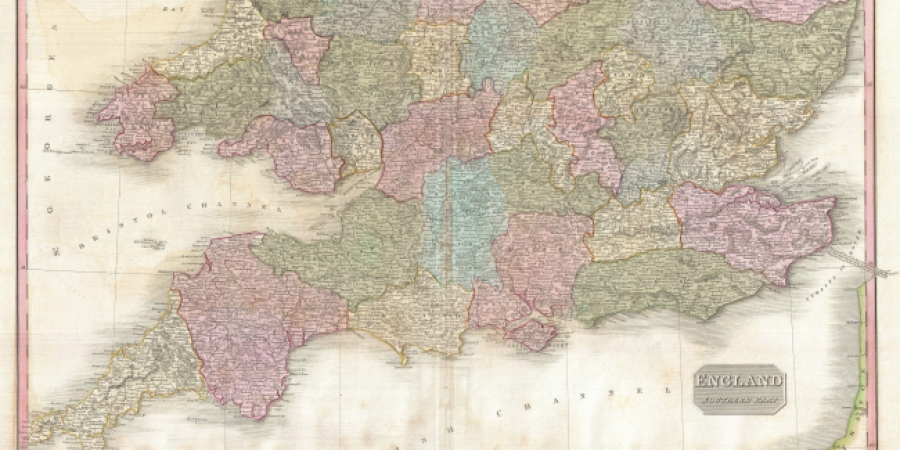
Every Geographer loves to look at a map. At university the slogan of our Geography Society was ‘Just give me a map.’ However, there are fewer and fewer about. Up until 2010 every Y7 pupil in the country was entitled to a free OS map of their local area. Not anymore, as they have launched Digimap (online directory), but nothing really beats getting a full sized OS map open in front of you. Finding out where you live, looking at the whole area and then the final challenge of folding it away. To paraphrase The Spinners, “It’s a shaaaaame, the way you’re messing round with my maps”.
Maybe I am just being old fashioned, maybe I am just trying to live out the dream of one of my old teachers of having a Map Room at home. I do love technology, and Memory Map is a fantastic piece of technology which gives you access to OS Maps wherever you are on your phone or tablet. But what happens when inevitably your battery dies, the charger cable breaks or you drop it on the floor. There is nothing better than a good old fashioned map.
Thankfully the new GCSE from 2016 will have more emphasis on locational place and awareness of the UK!
Do you use physical maps in your school? Let us know in the comments.